
Evaluation of water and sediment connectivity in tropical rivers using Surface Water and Ocean Topography mission data
2022 - Dr. Andrew Wilcox
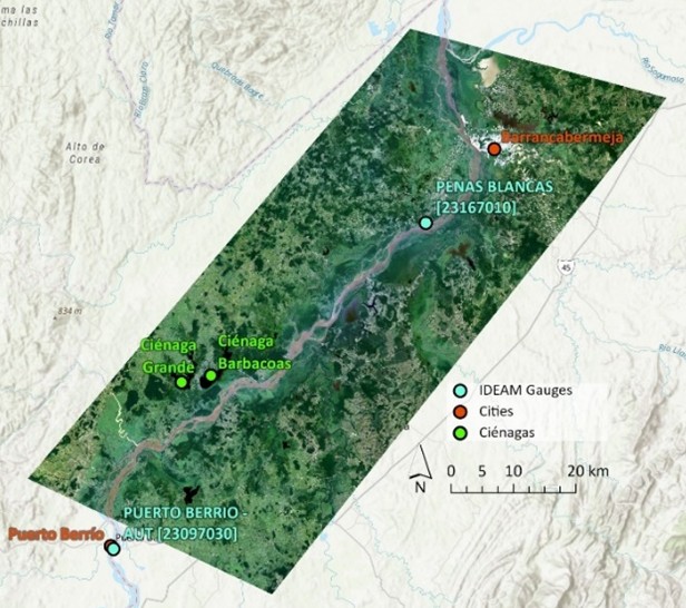
This project investigated water and sediment connectivity in large tropical rivers using data generated by the Surface Water and Ocean Topography (SWOT) mission, Landsat, and in-situ gaging data. The project used high-resolution data on river widths, water level, and slope, as well as floodplain wetlands area, from a recently launched satellite (SWOT), to advance quantitative understanding of physical processes in tropical rivers, and in particular of the dynamics of how rivers, floodplains, and wetlands are connected. The focus study site was the Magdalena River in Colombia. Insights generated here have been used to understand how hydroelectric development is affecting, or has the potential to affect, downstream ecosystems and communities. The project contributed to human resource development via training of a graduate student in remote sensing of rivers and expanding the toolbox of the UM Geomorphology Research Group in a manner that improves research competitiveness. The project also indirectly contributes to training U.S. and Colombian graduate students in river sciences, because SWOT and remote sensing of rivers contributed to curricular content for a recent field course in Colombia.
